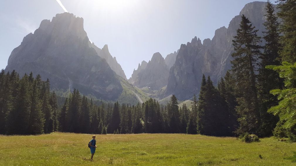
With the public transportation you go from Ritsch to Saltria (1,718 m). From there you walk across large alpine meadows (Ochsenwald = community alp of the Castelrotto farmers), through dark green wood to Piani di Confine (the water tank of the whole Val Gardena), afterwards along the foot of the Sasso Lungo and Sasso Piatto until you reach the access to the Sasso Piatto fork. From there you turn right in the direction of “Piz Uridl” (2,109 m) across the Commun pastures to the hut Murmeltierhütte (2,150 m). Then you proceed to Zallinger and Tirler reaching Saltria and from there you get the public transportation back to Ritsch and you walk back to the Hotel.
Length:
13.3 km Duration:
3,5 - 4 hours Difference in height:
527 m 

